Mount Washington by the Lion Head winter route
A winter ascent of the Northeast's highest peak. Where the route steepens, what changes above treeline, and how to make the turnaround decision.
- Distance
- 8.2 mi round trip
- Climb
- about 4,250 ft
- Summit
- 6,288 ft
- Start
- Pinkham Notch, NH 16
These markers show general locations, not a route to follow. Carry a current map and compass.
What you are signing up for
From Pinkham Notch to the summit is 4.1 miles and about 4,250 feet of climbing. Those numbers describe a hard hike. In winter it is a mountaineering day: the steepest part needs crampons and an ice axe, and the upper half is above the trees on a summit that regularly records winds over 100 miles an hour.
It is the standard winter route because it follows a ridge. The summer trail goes up Tuckerman Ravine, which is avalanche terrain in winter and is avoided for that reason.
Before you leave the building
Start at the AMC Pinkham Notch Visitor Center on NH 16, at about 2,050 feet. Three things happen there, in this order.
Read the day's Higher Summits Forecast and the avalanche forecast. Confirm the winter route is open: it is only opened once there is enough snow to cover the ground. Then sign the winter hiker register.
The climb, in four parts
- The approach. The Tuckerman Ravine Trail from the visitor center is wide and steadily uphill. It is the warm-up, and the place to sort out layers before it matters.
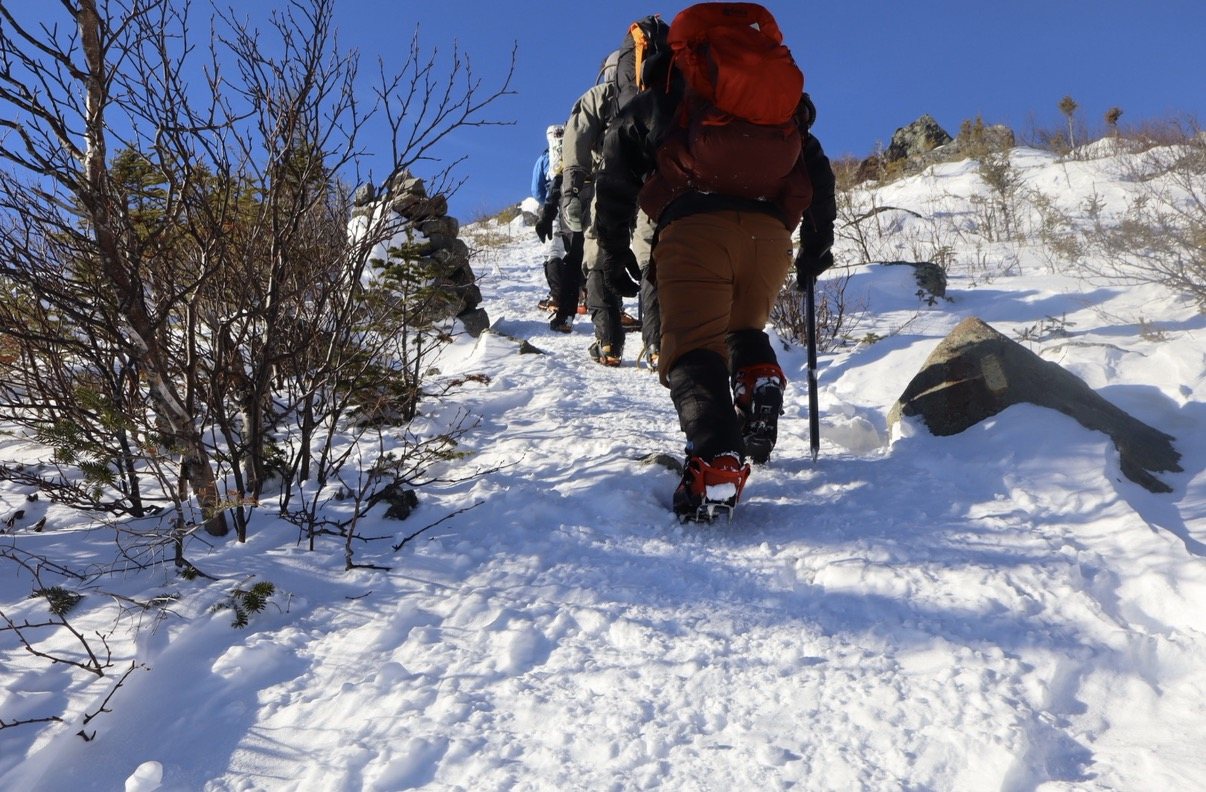
- The steep section. The winter route leaves the main trail and climbs through the trees at a grade that gains roughly 900 feet in less than half a mile. This is where crampons go on and the axe comes off the pack.
- Treeline and Lion Head. You come out of the trees into the wind. Everything from here is exposed.
- The summit cone. Open ground to the top, following the line of cairns. In good visibility it is a walk. In poor visibility it is navigation.
Where to decide
Treeline is the decision point. Below it you are sheltered and retreat is simple. Above it the wind is the real opponent, and the further you go the longer you are committed to being in it on the way back.
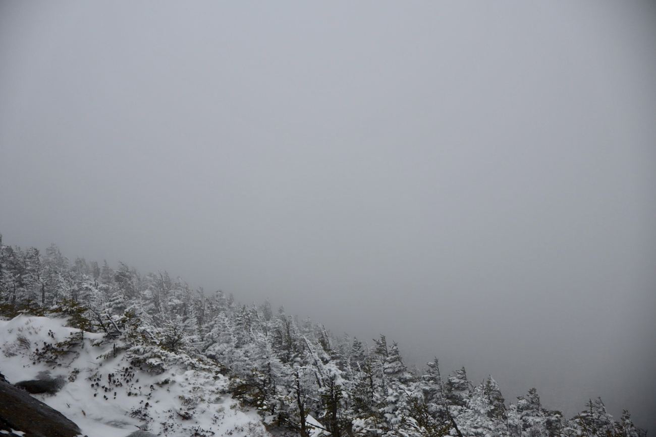
So decide at the last trees, not on the cone. Put on your shell, goggles and heavy gloves there whether or not you think you need them. If the wind is already hard to stand in, or you cannot see the next cairn, that is your answer for the day.
Set a turnaround time before you leave the car and keep to it. The summit is the halfway point.
How long to allow
Book time for the ascent alone is a little over four hours. With the descent, breaks and time spent changing gear, plan on using most of a short winter day, and start early enough that your turnaround time is not a guess.
On top
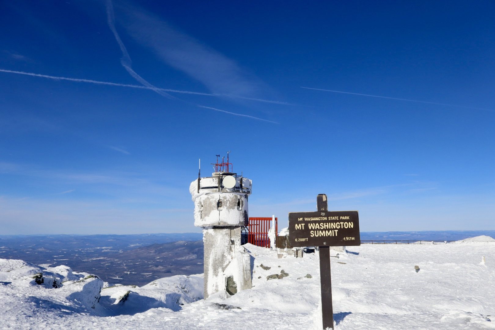
The summit sign reads 6,288 feet, 1,917 metres. The photo on this page was taken on a still, clear day, and the observatory tower beside the sign is still coated in rime. That is what the wind does up there on the days in between.
Who should not go alone
If you have not used crampons and an axe on steep snow before, this is not the place to learn by yourself. Go with a guide or with people who have done it. Local guide services run this exact route as a one-day ascent.
Before you go
From the trail
We got the rare one: a clear summit, blue sky to the horizon and a view down onto the ranges to the south.
Even then, the tower and the sign post were plastered in rime. A good day on Washington still looks like that.
Sources and further reading
- New Hampshire Climbing, Lion Head Winter Route (overview by guide Mark Synnott)
- Outdoor Project, Mount Washington winter ascent
- goEast (EMS), Lion Head Winter Route
- onX, Lion Head winter route profile
- MIT Outing Club, Mt. Washington via Lion Head trip notes
Routes and conditions change. Check current forecasts, trail notices, and maps before you set out.